Vanguard Drones 


Vanguard Drones
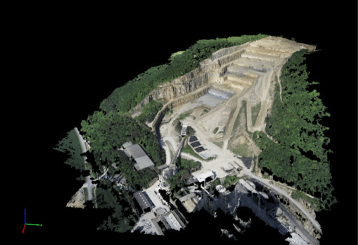
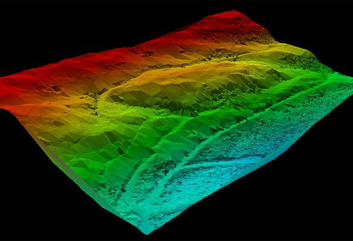
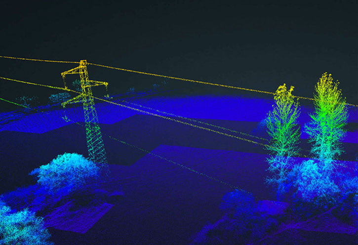
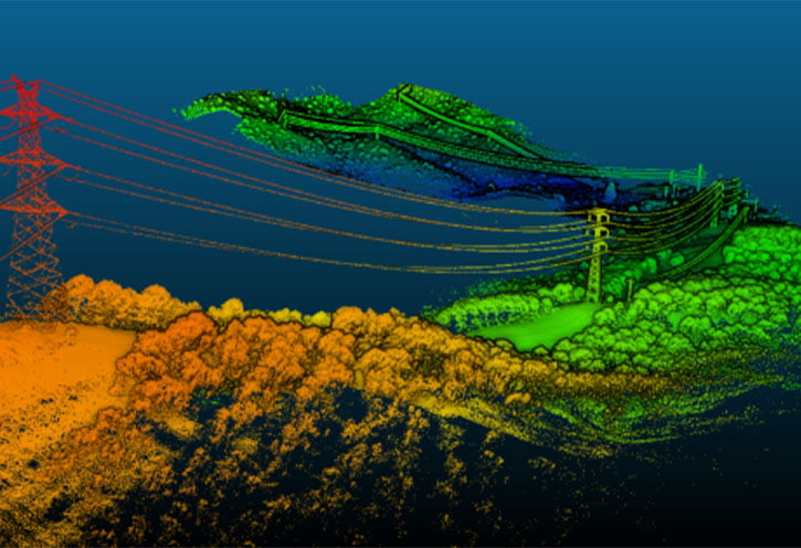
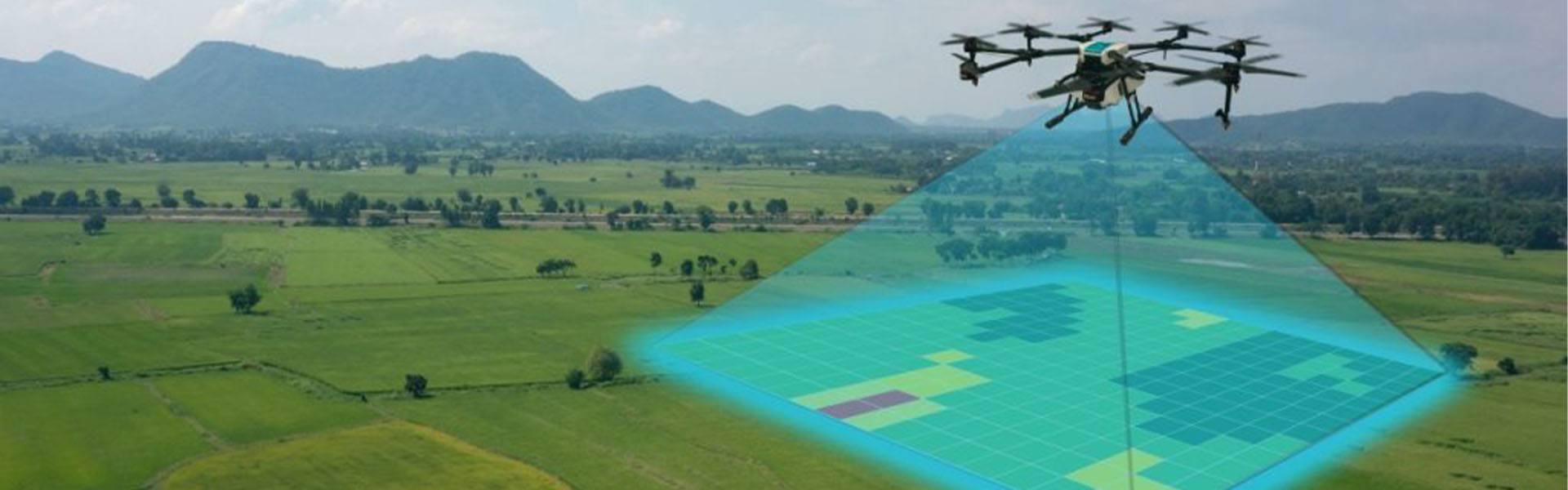
Geographic Information Systems (GIS/GIS) provide the ability to collect, store, process, manage, analyze and visualize spatial data in a digital environment.
Our Unmanned Aerial Systems are equipped with appropriate remote sensing instruments, RTK units and Terrain Follow function to offer a very high degree of accuracy at centimetre level.
Vanguard Drones operates in accordance with the latest EASA regulations for the operation and training of Unmanned Aircraft Systems and under a special category license approved by the Civil Aviation Authority